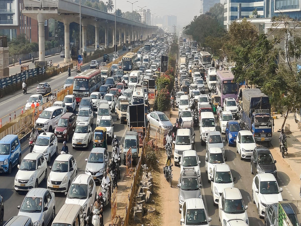
For years, daily commuters in Delhi have been unknowingly passing through some of the city’s most dangerous stretches — places where fatal accidents are not a rare headline, but a grim routine.
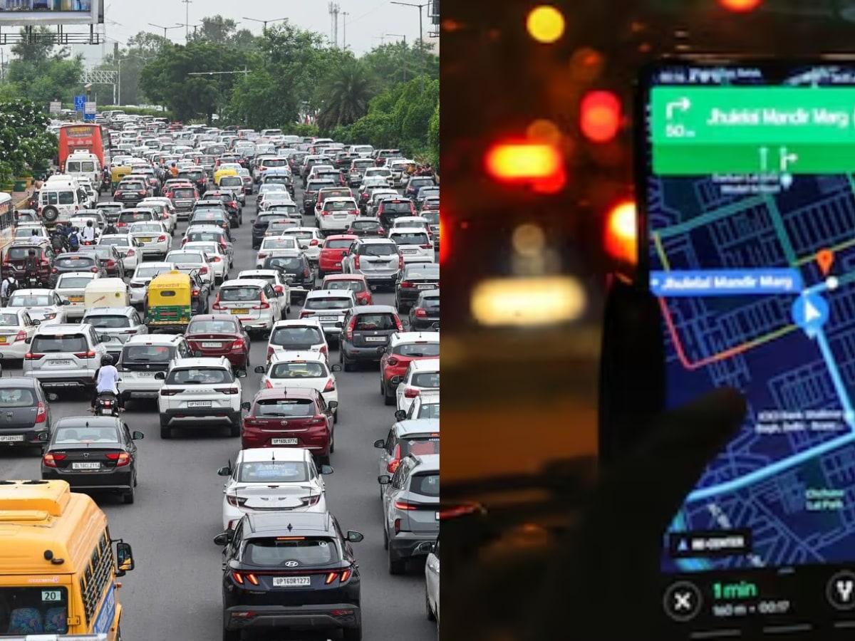
Now, the Delhi Traffic Police wants to change that. In a first-of-its-kind move, they are teaming up with Google Maps to mark all “black spots” — accident-prone zones — so drivers get real-time alerts before entering them. The goal is simple but urgent: warn people early enough to save lives.
What’s a black spot?
It’s not just a bad patch of road. A black spot is officially a stretch where accidents keep happening within a 500-metre radius. In 2024 alone, Delhi recorded 111 such spots, with 1,132 accidents — nearly half of them fatal.
Deputy Commissioner of Police (Traffic Headquarters) Shive Keshari Singh explains,
“If a particular stretch sees frequent accidents, the midpoint of that stretch is categorised as a black spot. The idea is to give timely information so commuters stay alert and reduce fatalities.”
The deadliest spots
Azadpur Sabzi Mandi (GT Karnal Road): 20 accidents, 11 deaths
Akshardham Mandir (NH-24): 19 accidents, 8 deaths
Bhalswa Chowk (Outer Ring Road): 19 accidents, 6 deaths
ISBT Kashmere Gate: 17 accidents, 8 deaths
Some roads — like Outer Ring Road, Ring Road, and GT Karnal Road — have multiple high-risk zones, making them accident corridors.
Why do black spots form?
From faded zebra crossings to broken signage, bad road design to blind curves — the reasons vary. Traffic Police say they already deploy personnel at these stretches and work with road agencies to fix issues. But this tech tie-up adds another layer: prevention through awareness.
The road ahead
By late 2025, commuters could start hearing “Caution: Accident-prone area ahead” from Google Maps as they approach these spots. The Traffic Police hope this small alert will make drivers slow down, stay sharp, and maybe — just maybe — save someone’s life.
Because in Delhi, sometimes safety is just a warning away.