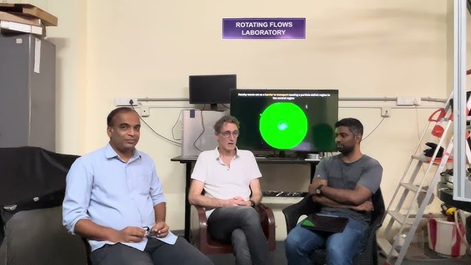
In the heart of IIT Madras, a quiet but significant contribution to international space collaboration has taken shape — not in the form of rockets or radar, but equations and simulations. Professor Manikandan Mathur, a fluid dynamics expert and head of the Geophysical Flows Lab at the institute, has emerged as a key figure in optimizing NISAR, the joint NASA–ISRO satellite mission designed to monitor Earth’s surface with unmatched precision.
NISAR (NASA-ISRO Synthetic Aperture Radar), launched earlier this year, is poised to revolutionize Earth observation, particularly in tracking climate change, coastal erosion, and agricultural shifts. Central to its success, however, is the ability to gather clean, frequent, and fine-grained data over the world’s coastlines — a task that Professor Mathur helped refine.
Drawing on his expertise in coastal physics, Mathur advised NASA and ISRO teams on critical mission parameters such as revisit intervals, orbital adjustments, and imaging strategies for complex coastal dynamics. His guidance has proven vital in enabling NISAR to detect delicate phenomena such as internal waves, river-ocean mixing, and sediment drift — especially in fragile ecosystems like India’s eastern coastline and the Bay of Bengal.
“Satellites like NISAR are not just about hardware in space — they are about data that touches lives on the ground,” Prof. Mathur said. “We worked to ensure that the right questions were being asked, and that the satellite’s design could answer them.”
The dual-band radar onboard NISAR — combining NASA’s L-band and ISRO’s S-band — allows for continuous, cloud-penetrating imaging at high resolution. With a revisit rate of just 12 days, it is expected to be a transformative tool for climate scientists, disaster responders, and coastal planners alike.
Professor Mathur also emphasized the importance of open access to NISAR’s data, which will be freely available to Indian institutions. “This democratizes high-end satellite data,” he noted, “allowing researchers across India to model sea-level rise, plan better coastal defenses, and track environmental changes in near real time.”
His contribution highlights a growing trend: the integration of academic research with large-scale space missions, in which scientists on the ground shape the missions that will observe Earth from above. For India, it’s another step in becoming a leader not just in launching satellites — but in determining how they see the world.


